Northeastern Michigan
Huron National Forest
-
-
- Mio Ranger District
- Huron Shores Ranger District
-
Mackinaw State Forest
-
-
- Gaylord State Forest Unit
- Atlanta State Forest Unit
- Pigeon River Country State Forest Unit
-
Au Sable State Forest
-
-
- Grayling State Forest Unit
- Roscommon State Forest Unit
- Gladwin State Forest Unit
-
North to south, west to east:
1. Inland Waterway
-
-
- Cheboygan River
- Mullett Lake – Aloha State Park
- Indian River
- Burt Lake – Burt Lake State Park
- Crooked River
- Crooked Lake
-

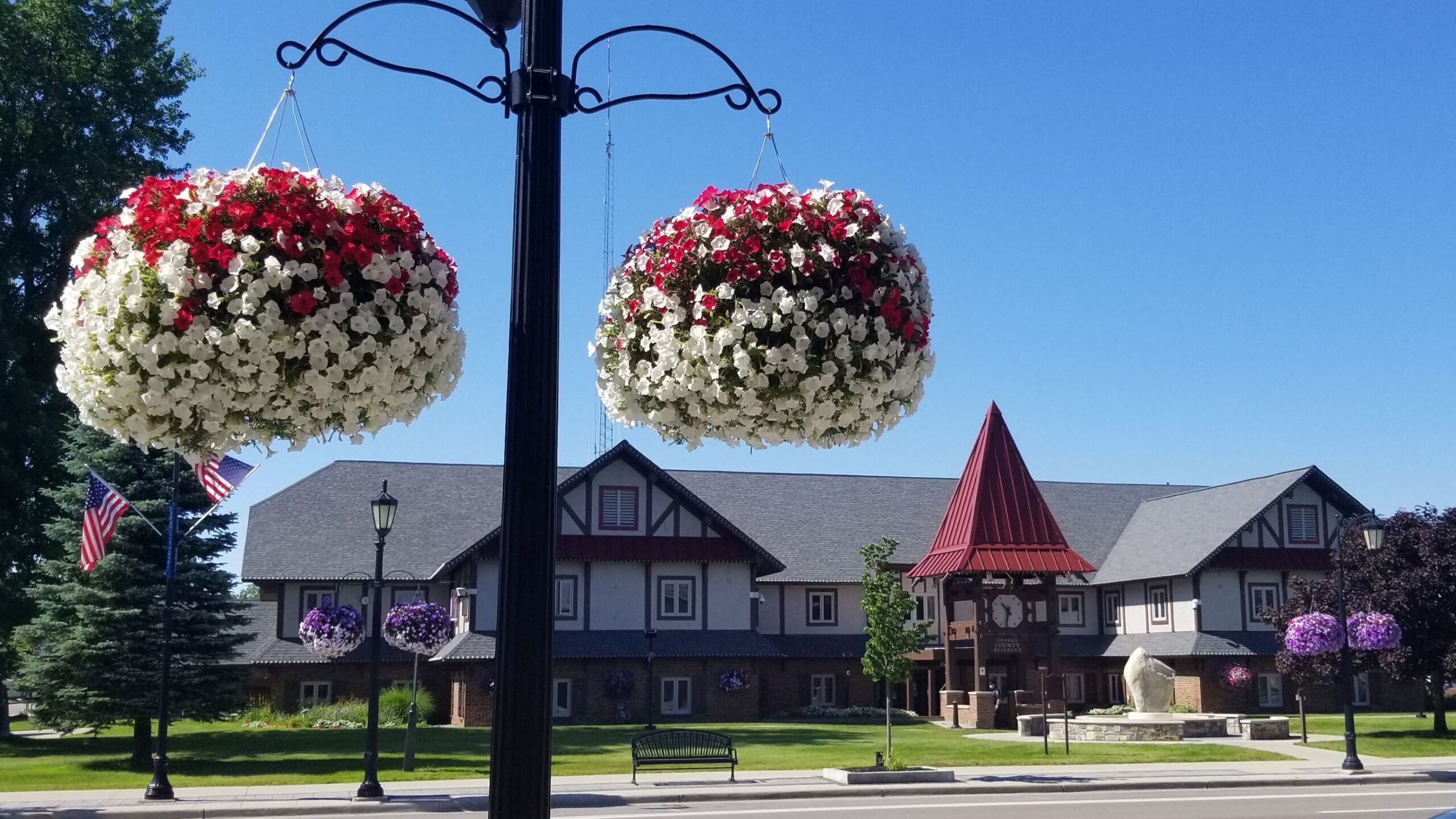
2. Gaylord “Michigan’s Alpine Village” – Gaylord State Forest Area
-
-
- Otsego County Courthouse
- Pavilion On Court
- Claude Shannon Park
- Otsego Lake State Park
- Gaylord Area Council for the Arts
- Alpine Chocolat Haus
-
3. Pigeon River Country State Forest – Elk Range
-
-
- DNR Elk Viewing Area #1 – Fontinalis Rd in Vanderbilt
- DNR Elk Viewing Area #2 – Unnamed Road off Sturgeon Valley Road in Vanderbilt
- DNR Elk Viewing Area #3 – Fisherman Road in Wolverine
- DNR Elk Viewing Area #4 & #5 – Osmun Road in Wolverine
- DNR Elk Viewing Area #6 & #7 – Intersection of Sturgeon Valley Road & Tin Shanty Road in Vanderbilt
- DNR Elk Viewing Area #8 – Chandler Dam Road in Johannesburg
-
4. Hillman – Atlanta State Forest Area
-
-
- Avalon Lake
- Fletcher Pond
- Mystery Valley Trail (1.2 miles, lightly trafficked, easy)
- Clear Lake Trails 2 and 3 (2.2 miles, lightly trafficked loop, easy)
- Rattlesnake Hills Trail (5.2 miles, loop, moderate, dogs allowed)
- Chippewa Hills Pathway (5.3 miles, lightly trafficked loop, moderate)
-

5. Hartwick Pines State Park
-
-
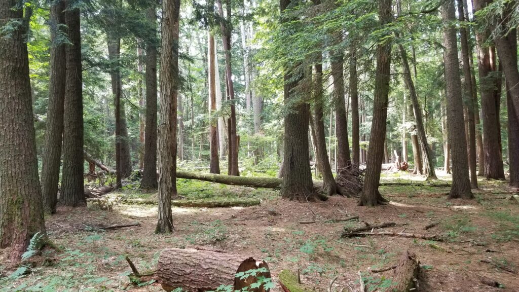
- Old Growth Forest Trail (1.4 miles, moderately trafficked loop, easy, dogs allowed)
- Hartwick Pines Logging Museum
- Hartwick Pines Chapel
- Mertz Grade Trail (2.5 miles, lightly trafficked loop, easy)
- AuSable River Trail (3.2 miles, moderate, dogs allowed)
- Aspen Trail (3.7 miles, moderately trafficked loop, easy)
-

6. Grayling – Grayling State Forest Area
-
-
- Lake Margrethe
- Shellenbarger Lake
- Crawford County Historical Society Museum
- W.J. Beal Tree Plantation
- Wakeley Lake Loop (Huron National Forest) (6.4 miles, lightly trafficked, easy)
- Rayburn Trail (5.1 miles, lightly trafficked, easy, dogs allowed)
-
7. Au Sable National Scenic River – Huron National Forest – Mio Ranger District Area
-
-
- Cathedral Pines Campground
- Davis Rest Stop
- McKinley Landing
- Bear Island Campsite
- Gabions Campground and Day Use
- Au Sable Scenic River Highbanks Overlook
-
8. Roscommon – Roscommon State Forest Area
-
-
- Roscommon Virgin Pine Stand (National Natural Landmark)
- North Higgins Lake State Park & South Higgins Lake State Park
- Houghton Lake State Forest Campground & Beach
- Civilian Conservation Corp Museum
- Lost Twin Lakes Hiking Trail (Au Sable State Forest) (3.2 miles, moderately trafficked loop, easy)
- Lake Saint Helen
-
9. River Road Scenic Byway – Huron National Forest – Huron Shores Ranger District Area
-
-
- Eagle Run Loop (4.2 miles, lightly trafficked loop, easy)
- AuSable River Queen
- Foote Pond Overlook & Champagne Hill
- Lumberman’s Monument – Trail (3.8 miles, moderately trafficked loop, easy, dogs allowed)
- Iargo Springs Staircase (0.8 miles, moderately trafficked, moderate)
- Westgate Overlook
-
10. Clare – Gladwin State Forest Area
-
-
- Clare – Cops & Doughnuts Headquarters
- Michigan Transportation Employees Memorial
- Gladwin – Stone Cottage Gardens
- Gladwin ORV Scramble Area (8 miles, moderately trafficked loop, easy)
- Harrison – Wilson State Park
- Trout Lake Pathway (1.3 miles, lightly trafficked loop, easy, dogs allowed)
-
