M-22 Scenic Byway, south to north:
Manistee & Benzie Counties
1. Manistee-Onekama
-
-
- Manistee Waterfront – Manistee River Walk (3 miles, moderately trafficked, easy, dogs allowed)
- Manistee National Recreation River & Bear Creek Scenic River
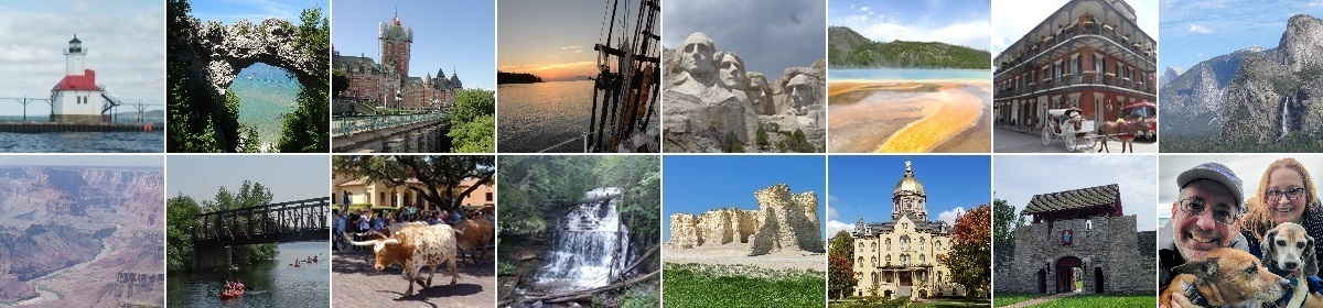
- Downtown Manistee
- Orchard Beach State Park – Loop Trail (2 miles, moderately trafficked, easy, dogs allowed)
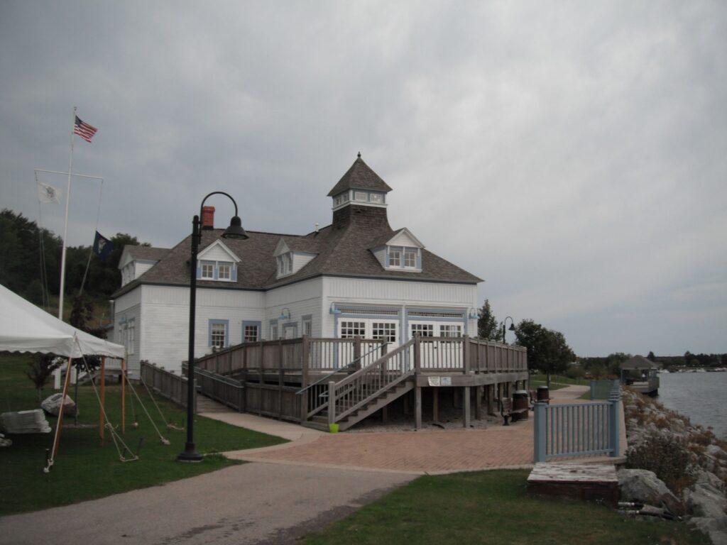
- Onekama – Portage Lake
-
2. Arcadia
-
-
- Arcadia Beach Natural Area
- Arcadia Scenic Turnout
- Arcadia Marsh Boardwalk (1.9 miles, lightly trafficked, easy, no dogs)
- Arcadia Area Historical Society
- Arcadia Dunes: C.S. Mott Nature Preserve – Dune Overlook via Baldy Trailhead (1 mile, moderately trafficked, easy, dogs allowed)
-
3. Frankfort
-
-
- Point Betsie Lighthouse
- Frankfort Public Beach And Playground
- Frankfort Municipal Marina
- Frankfort Mineral Springs
- Downtown Frankfort
-
4. Elberta
-
-
- Waterfront Park
- Elberta Life Saving Station venue
- Elberta Beach
- Downtown Elberta
- Elberta Dunes South Natural Area – Loop Trail (1.6 miles, moderately trafficked, easy)
-
5. Benzonia-Beulah (US-31)
-
-
- Benzonia Public Library
- Benzie Area Historical Society and Museum
- Crystal Lake – Crystal Lake Marina & Beulah Beach
- Old Benzie County Courthouse
- Betsie Valley Trail: Mollineaux Rd to Beulah Beach (6.3 miles, easy, dogs allowed)
-
Sleeping Bear Dunes National Lakeshore
1. Platte River area in Honor (Sleeping Bear Dunes National Lakeshore)
-
-
- Old Indian Trails: Black Arrow and Green Arrow Loop (3.1 miles, moderately trafficked, easy, dogs allowed)
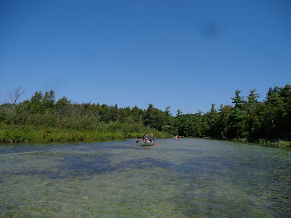
- Platte River Paddle Trip (3.8 miles, lightly trafficked, moderate)
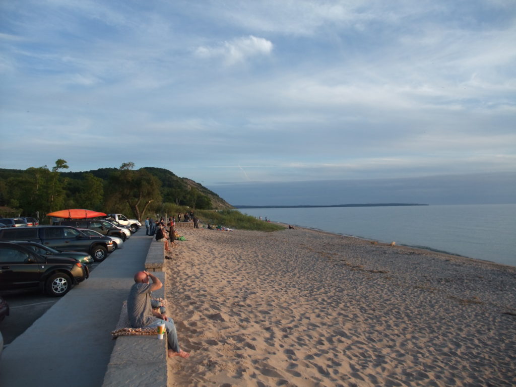
- Platte River Point Beach
- Platte River Campground
- Esch Beach Walk (moderately trafficked, easy, dogs allowed)
-
2. Empire
-
-
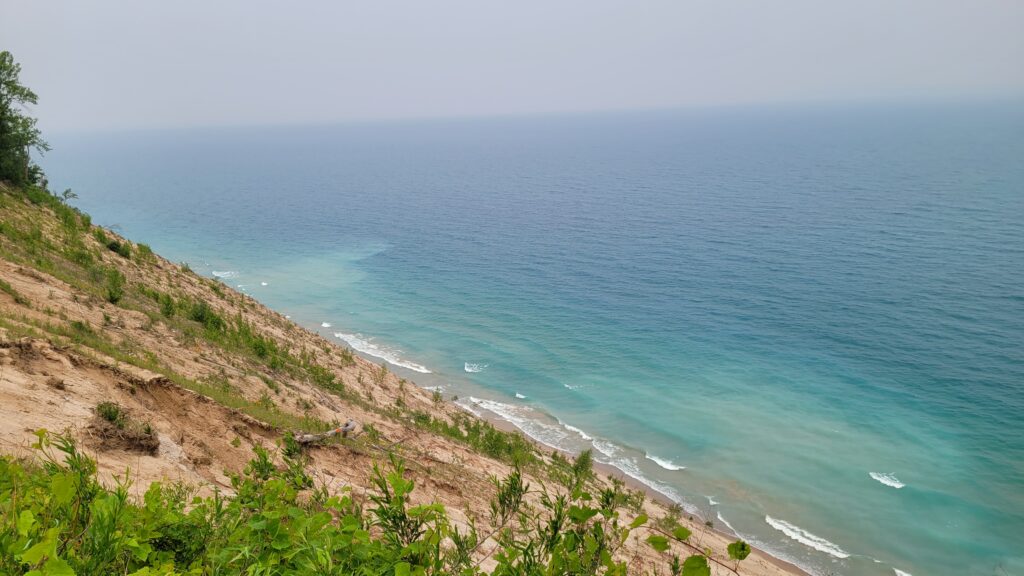
- Empire Bluff Trail (1.5 miles, heavily trafficked, moderate, dogs allowed) (Sleeping Bear Dunes National Lakeshore)
- Philip A. Hart Visitor Center (Sleeping Bear Dunes National Lakeshore)
- Empire Village
- Empire Village Beach
- North Bar Lake
-
3. Pierce Stocking Scenic Drive (Sleeping Bear Dunes National Lakeshore)
-
-
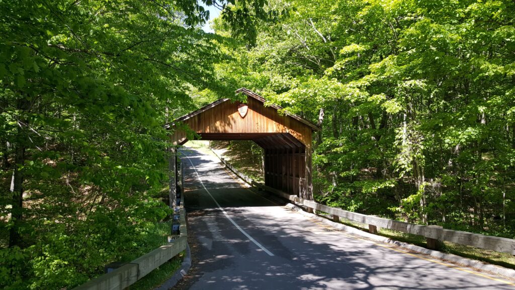
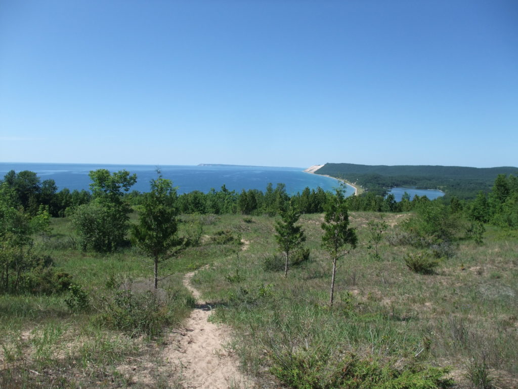
- Pierce Stocking Scenic Drive (7.2 mile loop, dogs allowed) – Covered Bridge
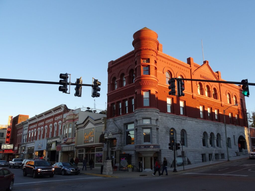
- Dunes Scenic Overlook
- Cottonwood Trail (1.6 miles, moderately trafficked loop, easy, dogs allowed)
- Sleeping Bear Dunes Overlook
- Shauger Hill Hiking Trail (2.7 miles, lightly trafficked loop, moderate, dogs allowed)
-
4. Glen Haven area (Sleeping Bear Dunes National Lakeshore)
-
-
- Dune Climb Trail (3.6 miles, heavily trafficked, difficult, no dogs)
- Glen Haven Historic Village
- Cannery Boathouse Museum
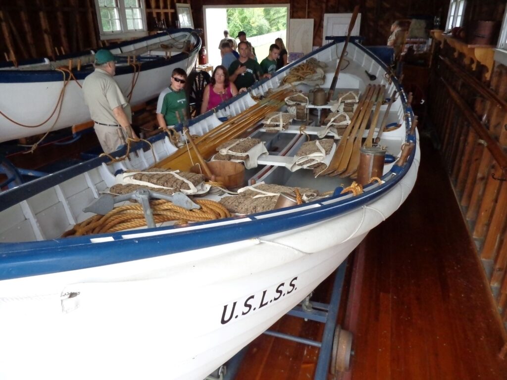
- Sleeping Bear Point Coast Guard Station Maritime Museum
- Sleeping Bear Point Trail (2.5 miles, moderately trafficked loop, moderate, no dogs)
-

5. Glen Arbor
-
-
- Alligator Hill – Easy Loop (2.8 miles, heavily trafficked) (Sleeping Bear Dunes National Lakeshore)
- D.H. Day Group Campground (Sleeping Bear Dunes National Lakeshore)
- Downtown Glen Arbor
- Cherry Republic
- Crystal River Paddle Trip (4.5 miles, lightly trafficked)
-
6. Port Oneida (Sleeping Bear Dunes National Lakeshore)
-
-
- Bay View Loop (5.9 miles, moderate, dogs allowed)
- Charles and Hattie Olsen Farmhouse
- Kelderhouse Cemetery
- Port Oneida Rural Historic District
- Pyramid Point – Trail (1 mile, heavily trafficked, moderate, dogs allowed)
-
7. Good Harbor Bay
-
-
- Bohemian Road Beach Good Harbor Bay (Sleeping Bear Dunes National Lakeshore)
- Good Harbor Bay Trail (2.7 miles, lightly trafficked loop, easy, no dogs) (Sleeping Bear Dunes National Lakeshore)
- Good Harbor Bay Beach (Sleeping Bear Dunes National Lakeshore)
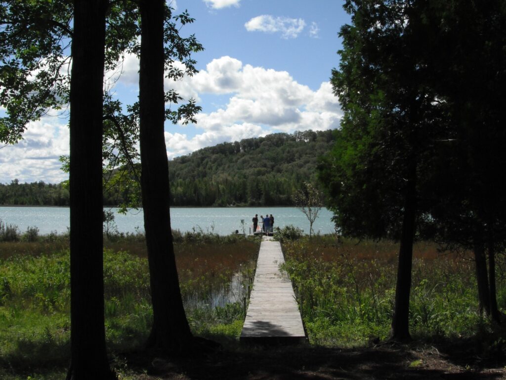
- Swanson Preserve – Little Traverse Lake Trail (0.6 miles loop, easy)
- Teichner Preserve – Lime Lake Boardwalk (0.5 miles, easy)
-
8. Leland
-
-
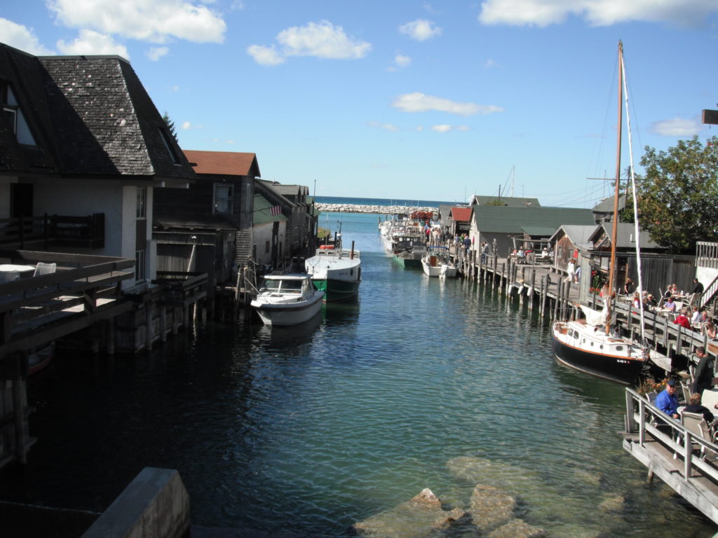
- Fish Town
- Leland Township Harbor – Port to Manitou Islands (Sleeping Bear Dunes National Lakeshore)
- Downtown Leland – Leland Village Green
- Lake Leelanau
- Whaleback Natural Area – Glacial Hill, Manitou Lookout, Bluff Edge and Birch Valley Loop Trail (1.6 miles, lightly trafficked, easy)
-
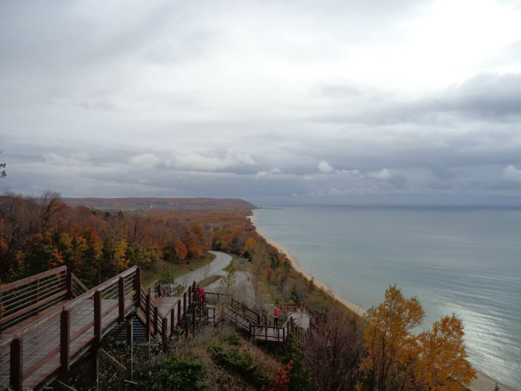
9. South Manitou Island & North Manitou Island (Sleeping Bear Dunes National Lakeshore)
-
-
- Lighthouse
- South Manitou Island Bay Campground
- Weather Station Campground
- Francisco Morazan wreck
- South Manitou Old Growth Cedars Trail (6.8 miles, moderate) – Giant Cedars
-
10. North Manitou Island (Sleeping Bear Dunes National Lakeshore)
-
-
- North Manitou Shoal Light Station
- North Manitou Island Lifesaving Station
- Lake Manitou Trail (4.9 miles, lightly trafficked, easy, no dogs)
- North Manitou Island Loop (13.7 miles, lightly trafficked, moderate, no dogs)
- North Manitou Island Outer Loop (16.5 miles, moderately trafficked, moderate, no dogs)
-